Impact of COVID-19 on Travel Behaviour and Public Transport Usage
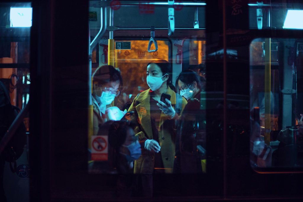
This research consists in a transcontinental analysis of the impacts that have been occurring on urban travel patterns since the arrival of the pandemic.
This research consists in a transcontinental analysis of the impacts that have been occurring on urban travel patterns since the arrival of the pandemic.